UN
14 Brinksway
£ 355,000
Description
We don't have a Description for this property.
- Bedrooms
- 4
- Bathrooms
- 0
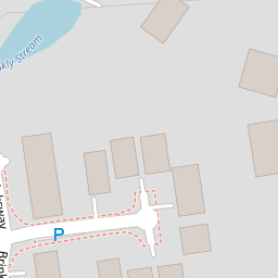
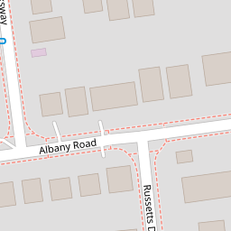
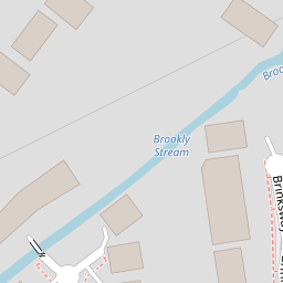
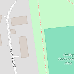

Leaflet © OpenStreetMap contributors
The heatmap indicates the level of crime in the area. The color of the heatmap indicates the crime severity and recency.
Metrics Year-on-Year
- Average area value
- 389,766.00 £Increased by 18.89 %
- Average area rental value
- 1,334.00 £/moDecreased by 19.30 %
- Est rental Yield
- 4.11 %Decreased by 32.07 %
- Crime Rate
- 1.00 %Unchanged by 0.00 %
from 327,847.00 £
from 1,653.00 £/mo
from 6.05 %
from 1.00 %
Nearby Schools
| Name | Type | Ofsted | Distance |
|---|---|---|---|
| Heatherside Junior School | Community School | Outstanding | 0.61 KM |
| Heatherside Infant School | Community School | Outstanding | 0.61 KM |
| Fleet Fireflies Children'S Centre | Children's Centre Linked Site | 1.04 KM | |
| Velmead Junior School | Community School | Good | 1.17 KM |
| Fleet Infant School | Community School | Outstanding | 1.22 KM |
Images
Nearby Streets
| Name | Average Price | Average Sqft | Distance |
|---|---|---|---|
| Shelley Close | £ 0 | 0 | 0.00 KM |
| Argyll Court | £ 0 | 0 | 0.00 KM |
| Gainsborough Court | £ 165,000 | 0 | 0.00 KM |
| Travis Perkins | £ 0 | 0 | 0.00 KM |
| Clarendon House | £ 0 | 0 | 0.00 KM |
Nearby Transport
| Name | NLC | TLC | Distance |
|---|---|---|---|
| Fleet | 5522 | FLE | 1.42 KM |
| Winchfield | 5528 | WNF | 7.85 KM |
| Sandhurst (Berks) | 5646 | SND | 8.32 KM |
| Blackwater | 5625 | BAW | 8.80 KM |
| Farnham | 5545 | FNH | 8.91 KM |
Nearby Listings
| Address | Price | Type | Score | Distance |
|---|---|---|---|---|
| Albany Road, Fleet, GU51 3LY | £ 1,250,000 | BUY | 8 / 10 | 0.08 KM |
| Albany Road, Fleet, GU51 3LY | £ 695,000 | BUY | 7 / 10 | 0.12 KM |
| Abbots Close, Fleet, Hampshire, GU51 | £ 725,000 | BUY | 8 / 10 | 0.15 KM |
| Connaught Road, Fleet, GU51 | £ 1,250,000 | BUY | Unknown | 0.17 KM |
| Fleet, Hampshire, GU51 | £ 900,000 | BUY | 7 / 10 | 0.25 KM |
Nearby Properties
| Address | Price | Distance |
|---|---|---|
| 14 Brinksway | £ 355,000 | 0.00 KM |
| 16 Brinksway | £ 385,000 | 0.00 KM |
| 17 Brinksway | £ 416,000 | 0.00 KM |
| 21 Brinksway | £ 500,000 | 0.01 KM |
| 12 Brinksway | £ 455,000 | 0.01 KM |